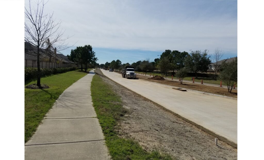
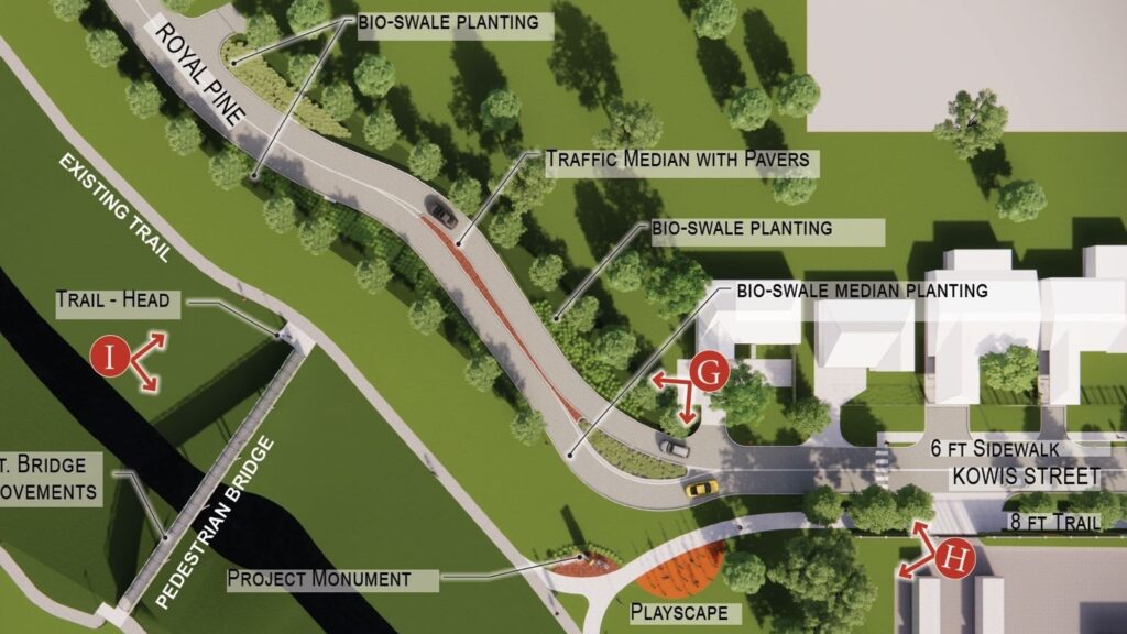
Application for Envision Verification for the Kowis Street Improvement Project, Harris County Engineering Department, Harris County Precinct 2 Houston,TX As a subconsultant to Cobb, Fendley, and Associates, Inc., providing Envision Sustainability Professional consulting support to assist the county to pursue a Platinum Level verification for the project. This is the first project in the Houston metro area to pursue Envision verification. Project will include green infrastructure landscaping, pedestrian and bicycle facilities, replaced roadway paving, new storm water management system, pedestrian amenities including lighting, a sound wall, seating, signage, and the incorporation of a resilience hub to address the high risk of flooding in the project area from Halls Bayou. Project scope includes extensive stakeholder mapping and engagement with full bilingual support (Spanish and English). RG Miller | DCCM is coordinating the preparation of detailed submittals for each of the 59 credits in the Envision framework. Credits help project planners and engineers enhance the project outcomes related to Quality of Life, Leadership, Resource Allocation, Natural World, and Climate and Resilience. The reconstruction of Kowis Street in East Aldine is intended to enhance the economic, social, and environmental conditions along the corridor between Halls Bayou and Precinct 2’s James Driver Park. Published by the Institute for Sustainable Infrastructure, Envision® is an objective framework that advances sustainable approaches for planning, designing, constructing, and operating public infrastructure projects. The framework helps guide project decision-making to foster an enhanced quality of life for project stakeholders, effective leadership, better resource allocation, conservation and restoration of natural resources, reduced air emissions, and improved resilience.